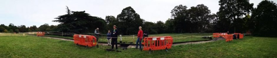
Activities have started up at Shorne, and despite our ‘barn site’ being too damp to dig still, we have been busy with walkovers and LiDAR sleuthing.
Over the next month the team will be working their way around the park recording (thanks to JT) the accurate location of all of our past projects in the Park so we can create a comprehensive map of the archaeology of the park. This will be happening on Thursdays and Fridays, weather willing!
It will also help tie up past projects and inform future ones!