-
Recent Posts
Tags
- anglo-saxon
- archaeology
- artefacts
- brick works
- bronze Age
- ceramic
- clay works
- cobham hall
- cobham landscape detectives
- cobham village
- community
- conservation
- education
- environmental
- excavation
- fieldwalking
- flint
- fort amherst
- governance
- gravesend
- greenwich
- history
- industry
- iron age
- landscape
- LiDAR
- lullingstone
- maidstone
- mausoleum cottage
- medieval
- mesolithic
- metal
- photography
- prehistory
- RAF
- randall manor
- ranscombe farm
- roman
- shorne woods country park
- social history
- stone
- survey
- thanet
- trosley
- world war II
-

-
Tag Archives: LiDAR
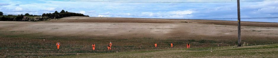
World War One stopline trench system revealed by lidar in Whitehorse Wood
The following article, by Andrew Mayfield, was recently published in Archaeologia Cantiana*: In 2011, a LIDAR (Light Detection and Ranging) survey was organised for the Medway Valley (reaching from Maidstone to Shorne and from Wrotham to Boxley). LIDAR surveys are … Continue reading
LiDAR online
At SWAG we have a strong interest in all things LiDAR. If you feel the same way then you’ll want to take a look at the Open Data Maps website: http://enfarchsoc.org/opendata/ Details about the site OpenStreetMap is built by a community … Continue reading
LIDAR Map of England and Wales
For those of you with an interest in LIDAR go to this website for a zoomable map (1m resolution): LIDAR map of England and Wales This comes from Open Government LIDAR data (DSM 1m) from the Environment Agency and Natural Resources Wales.